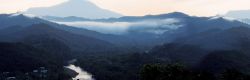

Transforming Production infrastructure
September, 2019 in Issue 3 -2019, Markets
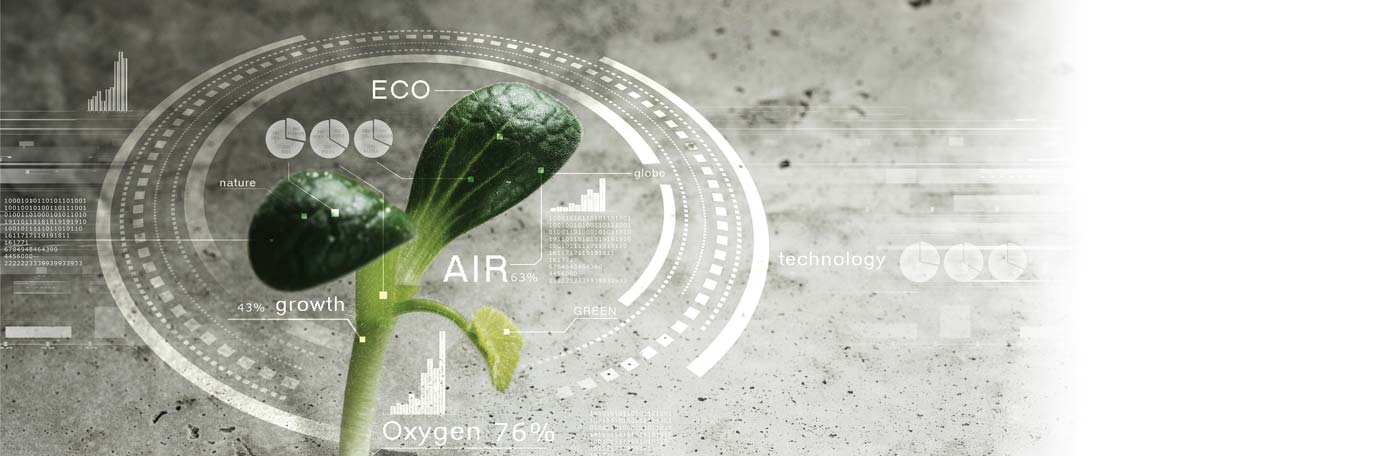
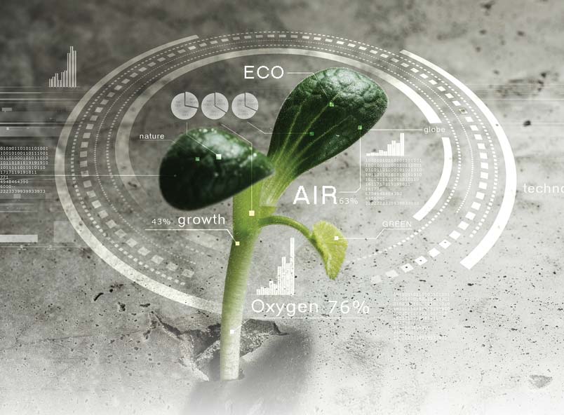
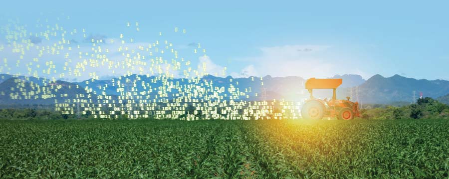
The Industrial Revolution 4.0 (IR 4.0) trend is transforming the production capabilities of all industries, including the agricultural sector. Connectivity is the cornerstone of this transformation, while the Internet of Things (IoT) facilitates key technologies that enable the development of precision agriculture (PA) and increases the industry’s transparency.
IR 4.0 is seen as a force that will greatly impact agriculture. The trend is built on the use of an array of digital technologies: IoT, big data and Artificial Intelligence (AI). It implies the transformation of production infrastructure toward connected farms, new equipment, and connected tractors and machines.
In essence, this involves digital human-to-machine interaction to raise productivity and quality, as well as to protect the environment. It encourages significant changes to the value chain and business models, with stronger emphasis on knowledge gathering, analysis and exchange.
PA or smart farming requires the optimisation of inputs like water, fertilisers, pesticides and tools to enhance yield, quality and productivity. The farming management concept centres around observing, measuring, and responding to inter- and intra-field variability in crops, using satellite farming or site-specific crop management.
The use of information technology (IT) like satellites, drones, AI and weather forecasting tools ensures that crops and the soil accurately receive what is needed for optimum health and productivity, thus preventing wastage in not only supply, but also time and costs.
Rather than depend solely on human labour to observe the plants and soil to decide what the crops need, satellites and robotic drones can be used to provide a bird’s eye view of the land and give farmers real-time images of individual plants. Information from those images can be processed and integrated with sensors and other data at the whole plantation for immediate and future decisions.
In the past, PA was limited to larger operations which could support the IT infrastructure and other technology resources required to fully implement and benefit from applications. Today, mobile apps, smart sensors, drones and cloud computing make PA possible for farming cooperatives and even smallholders.
In addition, the availability of open-source data from various types of sensors and satellite imagery – such as the USDA’s GADAS, NASA’s Landsat, as well as images from Google Earth – allows smallholders to gain access to state-of-the-art satellite imagery without payment.
When it comes to current farming culture in Malaysia, it must be noted that the average farmer is 50 years old; hence, incorporating or adopting new technology can be a challenge. Embracing change is the only way to attract youth who are tech-savvy into taking up jobs in agriculture. Changing old practices to incorporate the new will also create modern, hi-tech farms.
Analytics, especially for small- and medium-size farms, is emerging as a significant way to improve their gains, especially in developed countries such as the US. Increased access and significantly reduced costs associated with cloud computing have seen a surge in tools and software that allow smallholders to leverage on big data analytics. These technologies utilise smartphone capabilities and low-cost sensors, and make analytics an option for most farmers by increasing cost efficiency.
Analytics have often been seen as an area of expertise of tech-savvy millennials. However, development of mobile apps with a focus on simplicity and user experience can ensure analytics for all. Analytics will be the centre point in driving both improvement in yields and delivery of economic benefits for the modern farm. Productivity will be focused, not on extra human resources, but on data and technology. Technology should not be perceived as a threat to farmers’ incomes, but as a facilitator in growing real incomes over the long term.
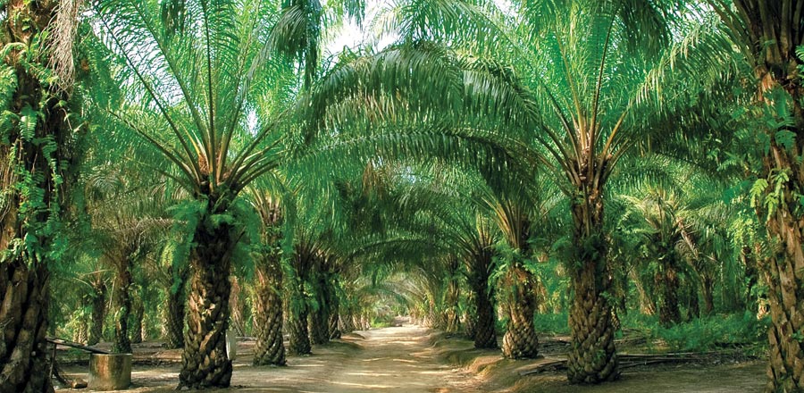
PA in oil palm sector
Oil palm plantations can capitalise on PA in three ways: the use of multispectral satellite imagery, drones and remote sensors.
Multispectral satellite imagery
Multispectral satellite imagery encompasses a wide range of graphical vision that conveys information about natural phenomena and human activities on the Earth’s surface. This includes colour and panchromatic (black and white) aerial photographs; multispectral or hyperspectral digital imagery (including portions of the electromagnetic spectrum that lie beyond the range of human vision); and products such as shaded relief maps or three-dimensional images produced from digital elevation models.
The earliest form of geospatial imagery was aerial photography, which consists of photographs taken from an airborne or space-borne camera. Aerial photographs can be taken either obliquely or vertically, which is preferred if the photographs are to be used to prepare maps of an area.
Overlapping vertical aerial photographs can be viewed stereoscopically to obtain a three-dimensional effect that is useful for topographic or geologic analysis, and further used to create topographic maps. Multispectral imagery can be used to assess the condition of a plantation.
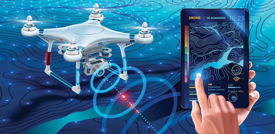
Drones/Unmanned aerial vehicle (UAV)
The ability to collect high spatial resolution aerial data is changing the way oil palm growers are approaching the business. The use of drones allows collection of information to be instantly accessible, and enables planters to make immediate decisions. Precision farming to increase the oil palm yield requires optimisation of returns on inputs, and preservation of resources based on sensing, measuring and health assessment of the plantation.
Professionals have been using satellite and UAV-based remote sensing for plantation monitoring applications such as vegetation cover assessment, vegetation mapping, crop monitoring and forest fire applications. Drone technology focuses on speed and accuracy in delivering that information.
Compared to piloted airplanes and satellite imaging, the ability of UAVs in collecting higher-resolution aerial images at a significantly lower cost can provide oil palm planters with more accurate information on tree height, crown size and the normalised difference vegetation index; this enables data-driven techniques for early and accurate yield estimation and crop-health assessment.
Drones can be integrated with custom instrumentations, controllers, sensors and software to operate as a flexible remote sensing or variable rate technology platform. This can assist in plantation management; growth and soil condition assessment mapping; risk/hazard/safety management; spraying; and research.
Specifically, UAV remote sensing in oil palm PA can contribute to automatic tree detection and counting; automatic measurement of tree height and crown diameter; calculation of planted and unplanted areas for replanting or thinning; analysing the tree status based on Orthomosaics and digital elevation models; inventory management;health assessment based on physical appearances and vegetation indices; model-based yield prediction, yield monitoring and mapping; rapid estimation of nutrient content; and disease detection.
The potential of drones/UAVs in the oil palm industry is immense as it provides a self-operated imaging tool, which is capable of providing regular and timely monitoring of plantations. It is especially useful in tropical countries where clouds are a serious hindrance to satellite image acquisition. The normal sensor camera can capture an image in RGB, while more advanced sensors (multi-spectral) can capture images in extra bandwidths (e.g. red edge, NIR, shortwave Infrared), thereby making classification more effective.
One drawback of UAVs is their lower coverage since they operate at low altitude of several hundred metres above ground level. Nevertheless, this would be sufficient for smallholders, while more could be utilised on bigger plantations.
UAV operations also require knowledge and skills in flying the platform, as well as exploiting the images produced. Critical aspects are the flight planning and geometric processing of the acquired data, including correct positioning of the observations on the Earth’s surface.
Remote sensors
Remote sensing is a tool to provide timely, repetitive and accurate information about the Earth’s surface. It is valuable in monitoring the status and progress of oil palm development. Remote sensing can assist in decision making for efficient plantation management and to investigate the impact of plantations on the environment.
Application-oriented research using remote sensing could generate profits for the industry, while testing the potential of remote sensing in oil palm cultivation. Such research would help resolve or mitigate some of the bigger problems faced by the industry. These include illegal deforestation, spread of disease or pests, nutrient deficiency, yield estimation, tree counting, and monitoring of environmental degradation. Remote sensing would be a useful tool in the early detection and continuous monitoring of these problems.
Application of digital technology
The use of digital technology can facilitate many tasks on oil palm plantations.
Land cover classification
Land cover refers to the composition of biophysical features on the Earth’s surface. As a distinct feature on the Earth’s surface, the oil palm can be detected by remote sensors and imagery. Classifying objects according to land cover helps to differentiate the oil palm from features on adjacent land – for instance, forest, buildings, bare land, water sources and other agricultural plantations. It allows for the demarcation of boundaries and accurate estimation of the area under oil palm.
Tree counting
Tree counting is a necessary practice for yield estimation and monitoring, replanting and layout planning. However, it is costly, labour-intensive and prone to human error when carried out in the field.
Most plantations have resorted to estimating the figures by multiplying the total area with the number of trees per hectare, which obviously is not accurate due to the heterogeneity of the land surface (hilly, undulated or flat) and features (river, land or forest). Remote sensing and imagery is a solution, as it provides a bird’s eye view of the plantation and a way of counting the trees automatically.
Age estimation
Age information is a good indicator of yield prediction, as it influences the quality and quantity of the fresh fruit bunches. Besides, it is an important piece of information to complete the allometric equation for the estimation of biomass. This further indicates the carbon stock of oil palm and its environmental impact.
Age information is important to PA, to detect anomalies among oil palm trees within a common age group. This is required in planning counteractive management practices and optimising resource management. Accurate information on tree age is important for scientific and practical reasons, as it determines the productivity of a tree.
Pest and disease detection
Pests and diseases are of major interest from the management perspective because early detection would help with intervention strategies to prevent outbreaks. Ganoderma boninensis is notorious in the oil palm industry. It is a fungal disease that rots oil palm trees from the inside, causing them to be structurally vulnerable and to topple during strong winds.
The disease is highly contagious. The infected trees rarely show symptoms until the late stage. Such trees have to be quarantined and removed in order to prevent the spread of the disease. Using remote sensing, the health of trees can be assessed based on the symptoms seen at specific spots.
Yield estimation
The oil palm is a commodity with a fluctuating market; as such, its yield has to be estimated through appropriate management strategies in order to maximise profits. Some plantation companies choose to replant the trees when the price is low; or delay replanting when the price is high, disregarding the optimum production age of the oil palm. Yield estimation, as a preliminary step toward yield prediction and forecasting, can aid the decision making process.
The yield is affected by various factors. The internal factors include age and oil palm breeds/variety, while the external factors include rainfall, drought, disease, soil fertility, soil moisture and harvesting efficiency. Thus, to estimate the yield accurately, there is a need to take all factors into consideration.
SWOT analysis
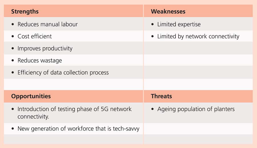
In terms of strengths, digital technologies can reduce manual labour by way of efficient plantation maintenance works. The affordable and long-term use of these technologies would benefit planters in terms of cost reduction, improved productivity and reduced wastage. Application of these technologies will also make the data collection process more efficient.
However, the use of digital technologies in Malaysia is currently limited by the level of expertise among planters, who are more accustomed to traditional ways of plantation maintenance. The potential of the technologies is also limited by 4G network connectivity which, in turn, restricts human-to-machine interaction.
The Ministry of Communications and Multimedia is now testing the first phase of the 5G network, which is expected to be fully launched in 2020. This will reduce the time-lag in human-to-machine communication. Adopting digital technologies will open up plantations to a new generation of employees who are tech-savvy. This will also address concerns about the ageing population of planters, while safeguarding the economic and environmental sustainability of the oil palm industry.
MPOC